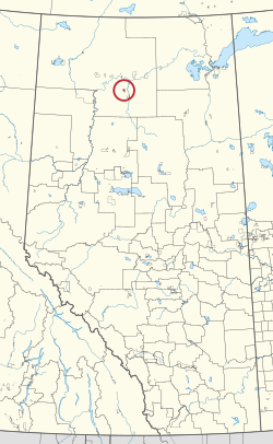
Tallcree 173A
North Tallcree |
|---|
|
Indian reserve |
| Tallcree Indian Reserve No. 173A |
|---|
 |
| First Nation |
Tallcree |
|---|
| Treaty |
8 |
|---|
| Country |
Canada |
|---|
| Province |
Alberta |
|---|
| Specialized municipality |
Mackenzie |
|---|
| Area |
|---|
| • Total |
2,723.4 ha (6,729.7 acres) |
|---|
| Population (2016) |
|---|
| • Total |
224 |
|---|
| • Density |
8.2/km2 (21/sq mi) |
|---|
|
For infobox source see[1] |
Municipality Well Data
| UWI
|
Well Name
|
Operator Name
|
License Number
|
License Issue Date
|
License Status
|
Spud Date
|
| 1055111216000
|
HESS 12 CORE HOLE TH 16-12-105-11
|
177293 Canada Ltd.
|
K0005014F
|
1952-03-03
|
RecExempt
|
1952-03-03
|
For data sources see[2][3]
References
